Useful Apps
These apps are almost indispensable for your holiday in the Engadin:
MeteoSwiss is the most reliable weather app for the whole of Switzerland, especially the Alpine region
SBB Mobile is indispensable for all public transport in Switzerland. Here you can find the best connections and, if necessary, buy tickets at the moment
By far the best navigation app in the Swiss Alps:
You can save the map data offline in the swisstopo app. Important for longer tours that may lead you into dead spots!
You can also save your own tours here.
The SwitzerlandMobility app displays our tours more beautifully.
But you can’t create your own tours and save maps offline in the free version.
Guided tours and experiences
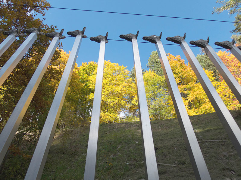
Parkin Not Vital Sent
Unique sculpture park by the world-famous artist Not Vital at the entrance to the village of Sent.
Every Tuesday and Friday. Registration required: Parkin Sent Not Vital or at the tourist office
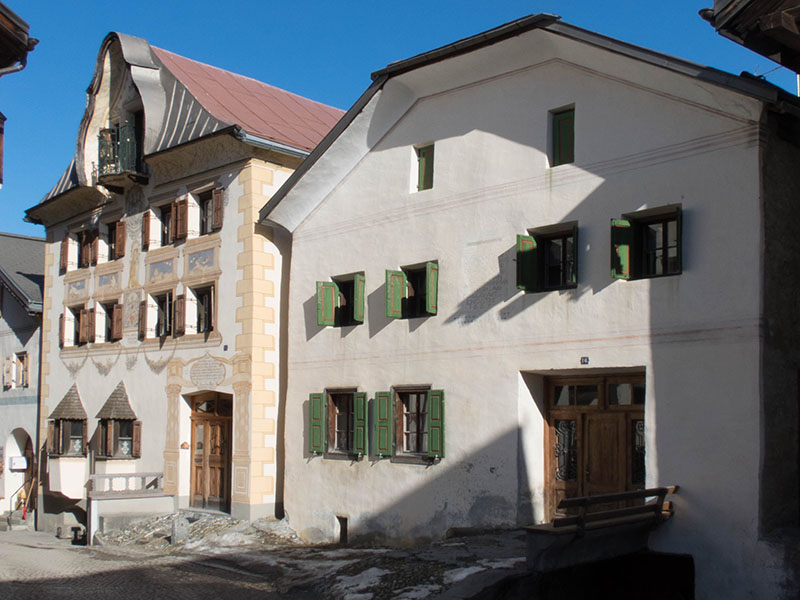
Guided tour of the village
Find out more about the history and architecture of the charming Engadin village of Sent.
Every Wednesday 10:00 a.m. No registration required. More here: engadin.com/en/village-tour-sent
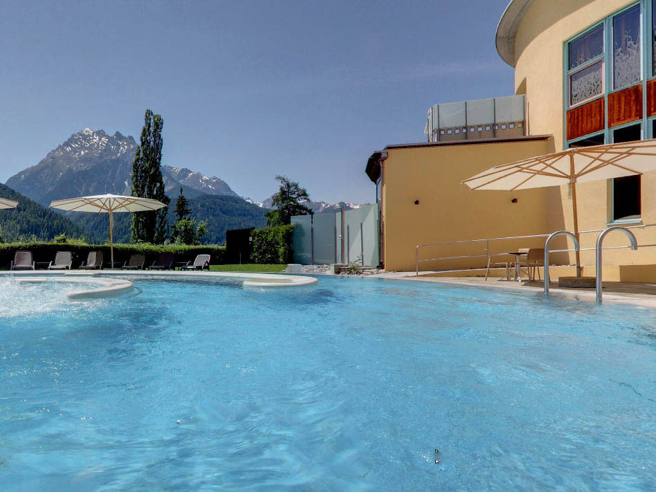
Bogn Engiadina
Pool and sauna area, panorama pool… Wellness and relaxation in any weather.
Read more here: bognengiadina.ch/en
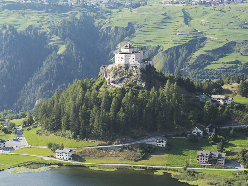
Tarasp castle
Landmark of the Lower Engadine. Find out more here: notvital.ch/en/fundaziun/schloss-tarasp
The castle can only be visited on a guided tour. There are also concerts, video shows, … Booking recommended, here: etermin.net/schlosstarasp
Adventure offers in the Lower Engadine
A wide range for everyone and for all weathers. More here: engadin.com/en/book-offers/experience-offers
and of course…
- Swiss National Park
- Excursion to Val S-charl (Attention: Postbus NOT included in the guest card)
- Rope park in Sur En – For children, teenagers and adults
- Trü swimming pool in Scuol
- …
Hikes
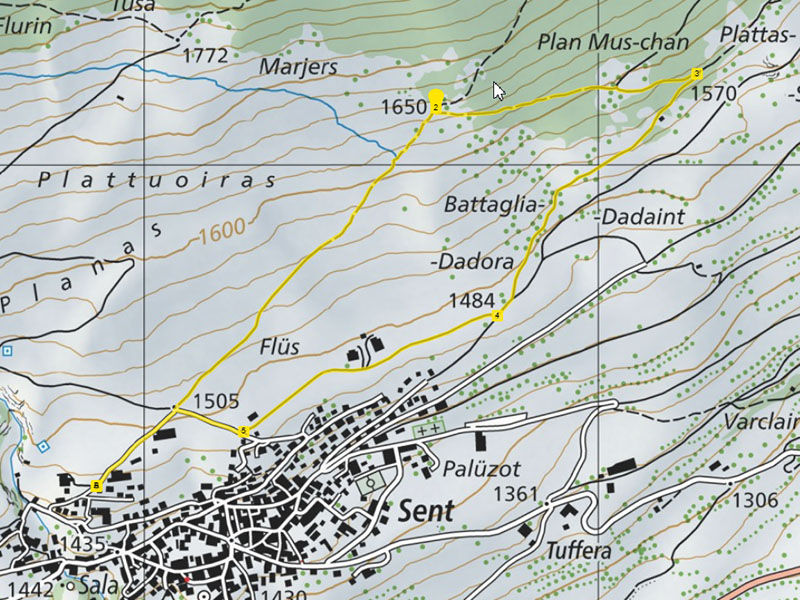
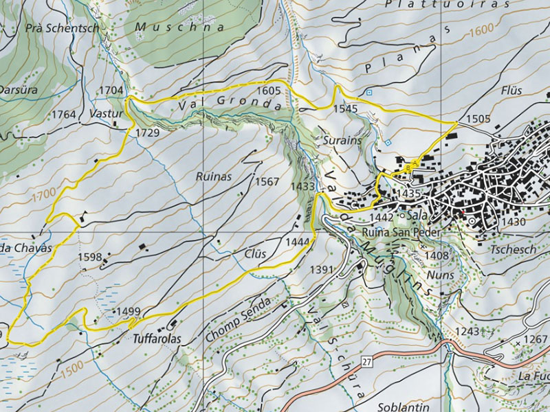
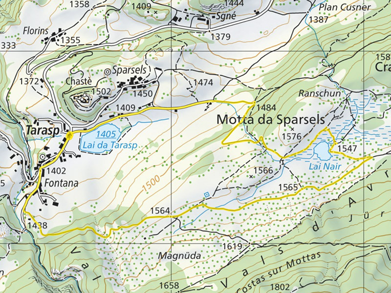
Here we have listed some ideas for excursions around Sent. We recommend hiking boots for all hikes! Exceptions: Sport shoes are also sufficient for the hikes marked ‘easy’.
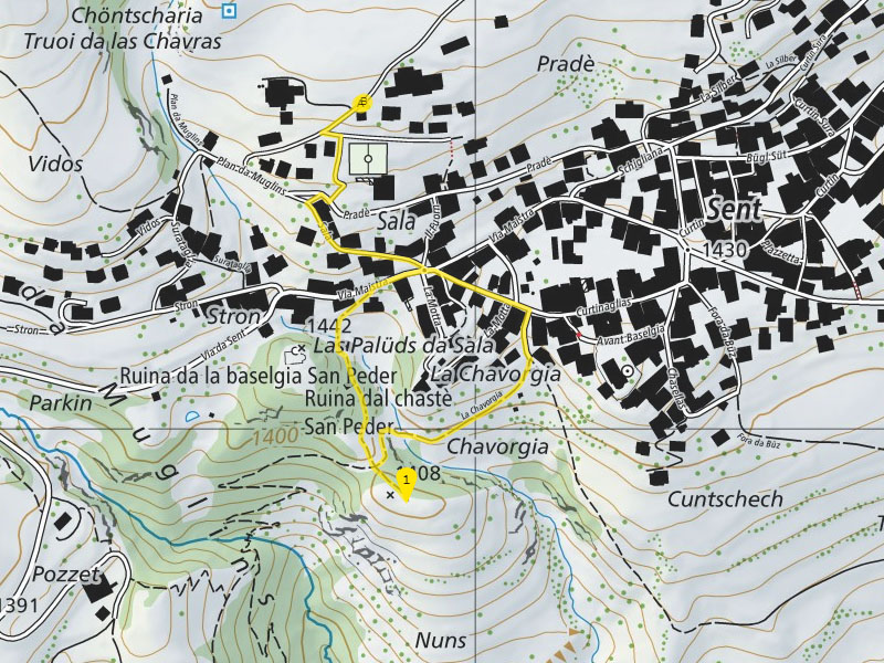
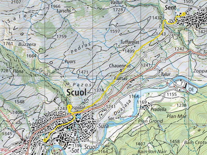
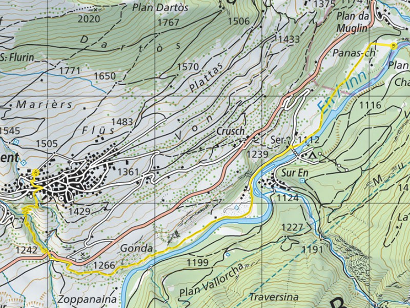
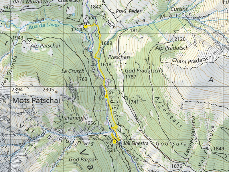
Click on the map section to access the map in your web browser. However, if you are on the move, we recommend downloading the GPS track and importing it into a navigation app.
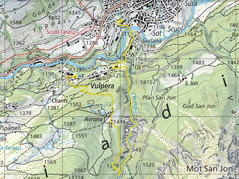
Sent – Scuol
Beautiful hiking trail to Scuol
Duration: 1:15 h (to Scuol Posta)
Easy
Hike with ever-changing beautiful views. There is a tasty mineral water fountain at the start of Scuol.
Rewarding destination in Scuol: Gelateria Mauri
Back by post bus
Sent – Sur En – Panas-ch
Varied mountain hike with swimming opportunities
Duration (outward journey only) : 2 h
Steep descent to the Inn, then along the clear mountain river Inn.
There are many opportunities to dip your feet in the cool water. Caution, sudden rise in water level possible, be careful at high water!
Return the same way or from Sur En Camping by post bus (free with the guest card)
Easy option: Drive to Sur En Camping, back over the bridge, then take the path on the right along the Inn. Picnic, splash around in the Inn. Then return the same way. Duration: from 0:30 h
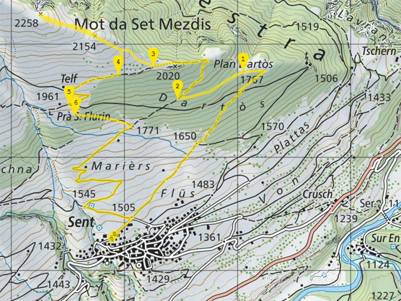
Sent – Mot da Set Mezdis
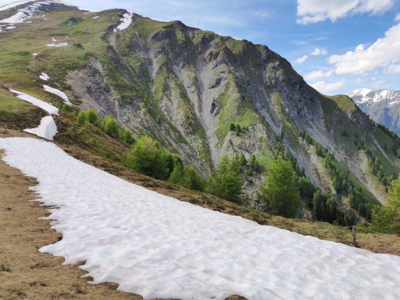
Varied circular hike high above Sent to beautiful viewpoints
Duration (outward and return journey): 4 hours
Mostly on paths, never dangerous.
Please note: although there is a clearly visible path after Plan Dartos (1), it is not marked on the map. The GPS path is only approximately marked there.
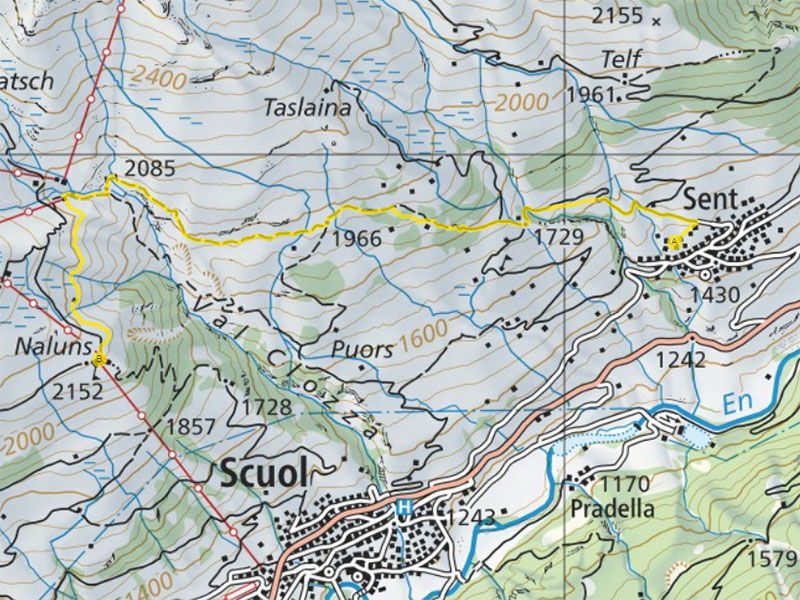
Sent – Motta Naluns
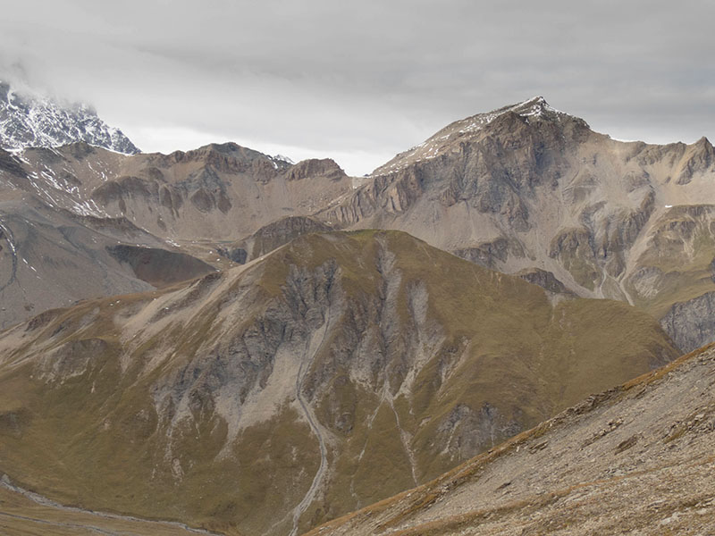
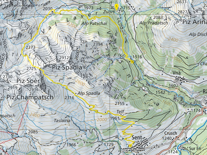
Sent – Fuorcla Spadla – Val Sinestra
High alpine hike right on the doorstep.
Duration: 7 hours
Start early in the morning in Sent, via Alp Spadla – Fuorcla Spadla, Val Laver to Val Sinestra. From there, return by postbus.
Possibly with a short diversion to the Hof Zuort mountain inn
Demanding tour only for experienced mountain hikers.
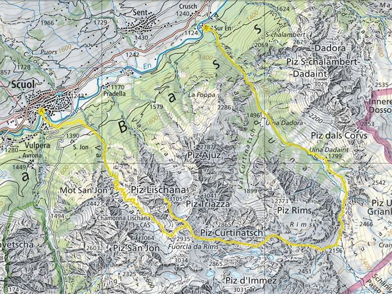
Scuol – Lischana – Lais da Rims – Val d’Uina – Sur En
The crowning glory!
Duration: 12 hours – can also be done in 2 days
Start early in the morning in Scuol (or in San Jon), possibly spend the night in the Chamonna Lischana, return by post bus from Sur En
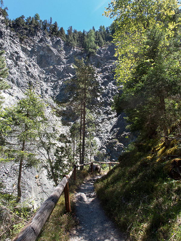
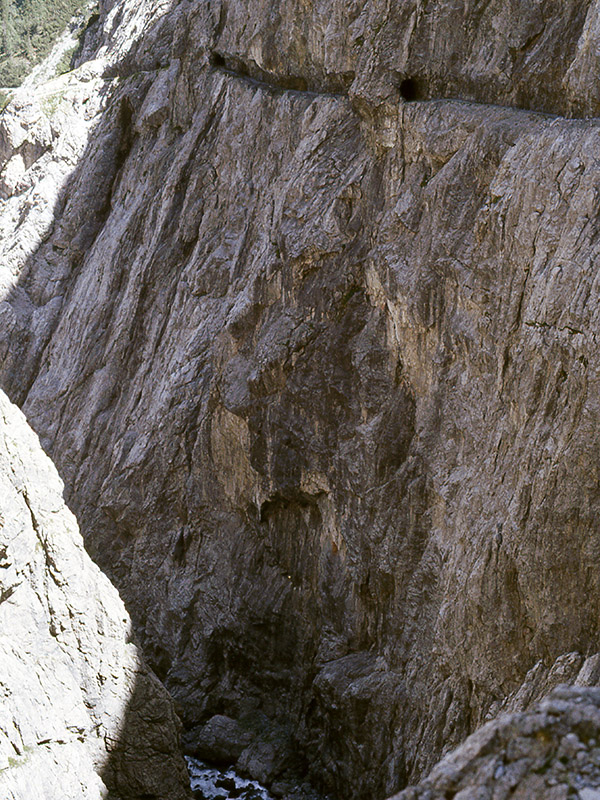
Demanding tour only for experienced mountain hikers. Sensational experiences: Piz Lischana, Lais da Rims, Uina gorge (picture left)


